
Clarkson topographic map
Interactive map
Click on the map to display elevation.
About this map
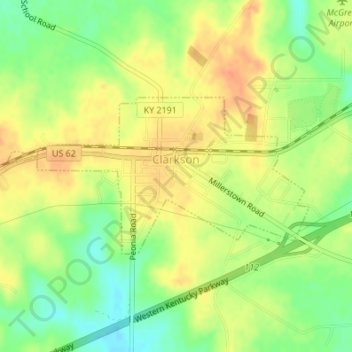
Name: Clarkson topographic map, elevation, terrain.
Location: Clarkson, Grayson County, Kentucky, United States (37.48804 -86.23783 37.50007 -86.20846)
Average elevation: 696 ft
Minimum elevation: 620 ft
Maximum elevation: 755 ft