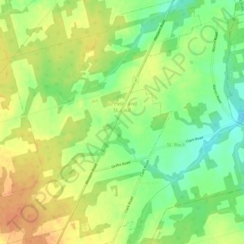
St Peter And St Paul topographic map
Interactive map
Click on the map to display elevation.
About this map
Name: St Peter And St Paul topographic map, elevation, terrain.
Average elevation: 75 ft
Minimum elevation: 7 ft
Maximum elevation: 135 ft

Click on the map to display elevation.
Name: St Peter And St Paul topographic map, elevation, terrain.
Average elevation: 75 ft
Minimum elevation: 7 ft
Maximum elevation: 135 ft