
Coll de Nargó topographic map
Interactive map
Click on the map to display elevation.
About this map
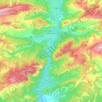
Name: Coll de Nargó topographic map, elevation, terrain.
Location: Coll de Nargó, Alt Urgell, Lleida, Catalonia, 25790, Spain (42.07711 1.15543 42.21970 1.35397)
Average elevation: 3,130 ft
Minimum elevation: 1,440 ft
Maximum elevation: 5,860 ft