
Kabru topographic map
Interactive map
Click on the map to display elevation.
About this map
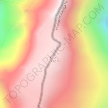
Name: Kabru topographic map, elevation, terrain.
Location: Kabru, Yamfudin, Sirijangha, Taplejung, Koshi Province, Nepal (27.62502 88.11760 27.62512 88.11770)
Average elevation: 22,310 ft
Minimum elevation: 18,360 ft
Maximum elevation: 24,186 ft
Other topographic maps
Click on a map to view its topography, its elevation and its terrain.
Kangchenjunga
Kangchenjunga, Yamfudin, Sirijangha, Taplejung, Province #1, Nepal
Average elevation: 25,341 ft