
Imbulpitiya topographic map
Interactive map
Click on the map to display elevation.
About this map
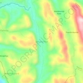
Name: Imbulpitiya topographic map, elevation, terrain.
Location: Imbulpitiya, Kegalle District, Sabaragamuwa Province, Sri Lanka (6.84266 80.32024 6.88266 80.36024)
Average elevation: 738 ft
Minimum elevation: 190 ft
Maximum elevation: 1,440 ft