
Şefkat Mahallesi topographic map
Interactive map
Click on the map to display elevation.
About this map
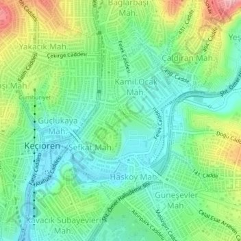
Name: Şefkat Mahallesi topographic map, elevation, terrain.
Average elevation: 2,953 ft
Minimum elevation: 2,802 ft
Maximum elevation: 3,268 ft
Other topographic maps
Click on a map to view its topography, its elevation and its terrain.
Kalaba Mahallesi
Kalaba Mahallesi, Keçiören, Ankara, Central Anatolia Region, Turkey
Average elevation: 2,933 ft