
Area E (Moresby Island) topographic map
Interactive map
Click on the map to display elevation.
About this map
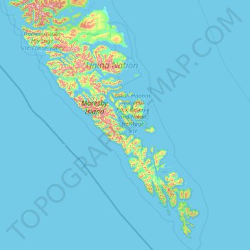
Name: Area E (Moresby Island) topographic map, elevation, terrain.
Average elevation: 138 ft
Minimum elevation: 0 ft
Maximum elevation: 3,478 ft