
Bayır topographic map
Interactive map
Click on the map to display elevation.
About this map
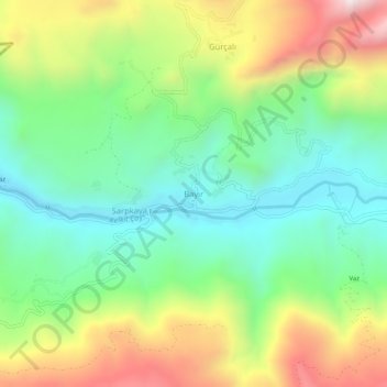
Name: Bayır topographic map, elevation, terrain.
Location: Bayır, Çamoluk, Giresun, Black Sea Region, Turkey (40.11897 38.54280 40.15897 38.58280)
Average elevation: 4,177 ft
Minimum elevation: 3,117 ft
Maximum elevation: 5,965 ft