
Ortaköy topographic map
Interactive map
Click on the map to display elevation.
About this map
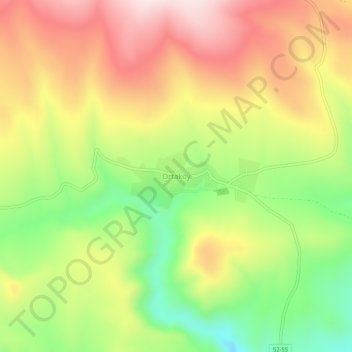
Name: Ortaköy topographic map, elevation, terrain.
Location: Ortaköy, Şarkışla, Sivas, Central Anatolia Region, Turkey (39.40240 36.21535 39.44240 36.25535)
Average elevation: 4,879 ft
Minimum elevation: 4,134 ft
Maximum elevation: 5,600 ft