
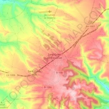
Sant Guim de Freixenet topographic map
Interactive map
Click on the map to display elevation.
About this map
Name: Sant Guim de Freixenet topographic map, elevation, terrain.
Location: Sant Guim de Freixenet, Segarra, Lleida, Catalonia, 25270, Spain (41.63004 1.37217 41.68674 1.45032)
Average elevation: 2,280 ft
Minimum elevation: 1,837 ft
Maximum elevation: 2,566 ft