
Fulks Run topographic map
Interactive map
Click on the map to display elevation.
About this map
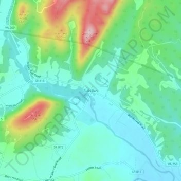
Name: Fulks Run topographic map, elevation, terrain.
Location: Fulks Run, Rockingham County, Virginia, 22830, United States (38.64012 -78.92614 38.68012 -78.88614)
Average elevation: 1,309 ft
Minimum elevation: 1,089 ft
Maximum elevation: 1,926 ft