
Nisciuréé topographic map
Interactive map
Click on the map to display elevation.
About this map
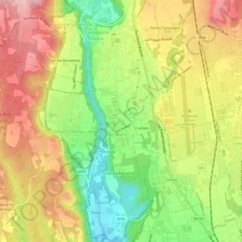
Name: Nisciuréé topographic map, elevation, terrain.
Location: Nisciuréé, Castiglione Olona, Varese, Lombardy, 21043, Italy (45.72127 8.85269 45.76127 8.89269)
Average elevation: 1,063 ft
Minimum elevation: 794 ft
Maximum elevation: 1,306 ft