
Sonora topographic map
Interactive map
Click on the map to display elevation.
About this map
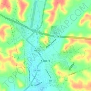
Name: Sonora topographic map, elevation, terrain.
Location: Sonora, Sutton County, Texas, 76950, United States (30.55437 -100.66098 30.59151 -100.62382)
Average elevation: 2,192 ft
Minimum elevation: 2,110 ft
Maximum elevation: 2,313 ft