
Bulwar WSK Rzeszów topographic map
Interactive map
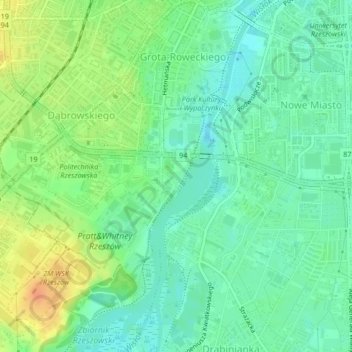
Click on the map to display elevation.
About this map
Name: Bulwar WSK Rzeszów topographic map, elevation, terrain.
Average elevation: 682 ft
Minimum elevation: 633 ft
Maximum elevation: 761 ft
Other topographic maps
Click on a map to view its topography, its elevation and its terrain.
Town Centre
Poland > Subcarpathian Voivodeship > Rzeszów
Town Centre, Rzeszów, Subcarpathian Voivodeship, Poland
Average elevation: 679 ft