
Blagung topographic map
Interactive map
Click on the map to display elevation.
About this map
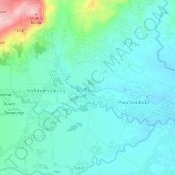
Name: Blagung topographic map, elevation, terrain.
Location: Blagung, Boyolali, 57376, Indonesia (-7.44375 110.68025 -7.40375 110.72025)
Average elevation: 604 ft
Minimum elevation: 476 ft
Maximum elevation: 1,112 ft