
Avoca topographic map
Interactive map
Click on the map to display elevation.
About this map
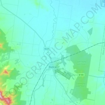
Name: Avoca topographic map, elevation, terrain.
Location: Avoca, Shire of Pyrenees, Victoria, 3467, Australia (-37.14082 143.40645 -36.99842 143.53935)
Average elevation: 840 ft
Minimum elevation: 686 ft
Maximum elevation: 2,024 ft