
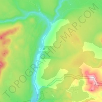
The Forks Plantation topographic map
Interactive map
Click on the map to display elevation.
About this map
Name: The Forks Plantation topographic map, elevation, terrain.
Location: The Forks Plantation, Maine, United States (45.25215 -69.99769 45.35608 -69.82397)
Average elevation: 1,158 ft
Minimum elevation: 479 ft
Maximum elevation: 2,448 ft