
Walmsley topographic map
Interactive map
Click on the map to display elevation.
About this map
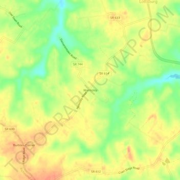
Name: Walmsley topographic map, elevation, terrain.
Location: Walmsley, Northumberland County, Virginia, United States (37.92124 -76.55523 37.96124 -76.51523)
Average elevation: 89 ft
Minimum elevation: 3 ft
Maximum elevation: 141 ft