
Kıllar topographic map
Interactive map
Click on the map to display elevation.
About this map
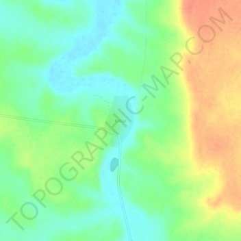
Name: Kıllar topographic map, elevation, terrain.
Location: Kıllar, Yunak, Konya, Central Anatolia Region, Turkey (38.71818 31.91128 38.75818 31.95128)
Average elevation: 3,074 ft
Minimum elevation: 3,009 ft
Maximum elevation: 3,159 ft