
Atotonilco topographic map
Interactive map
Click on the map to display elevation.
About this map
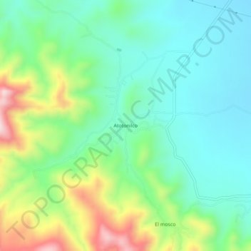
Name: Atotonilco topographic map, elevation, terrain.
Location: Atotonilco, Ciudad Fernández, San Luis Potosi, Mexico (21.97379 -100.46186 22.01379 -100.42186)
Average elevation: 4,442 ft
Minimum elevation: 4,032 ft
Maximum elevation: 5,404 ft