
Greenland topographic map
Interactive map
Click on the map to display elevation.
About this map
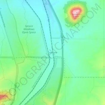
Name: Greenland topographic map, elevation, terrain.
Location: Greenland, Douglas County, Colorado, 80118, United States (39.16249 -104.87526 39.20249 -104.83526)
Average elevation: 7,005 ft
Minimum elevation: 6,811 ft
Maximum elevation: 7,569 ft