
Emirler topographic map
Interactive map
Click on the map to display elevation.
About this map
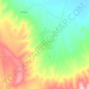
Name: Emirler topographic map, elevation, terrain.
Location: Emirler, Haymana, Ankara, Central Anatolia Region, Turkey (39.03015 32.32190 39.07015 32.36190)
Average elevation: 3,320 ft
Minimum elevation: 2,874 ft
Maximum elevation: 3,904 ft