
Resurrection Mill topographic map
Interactive map
Click on the map to display elevation.
About this map
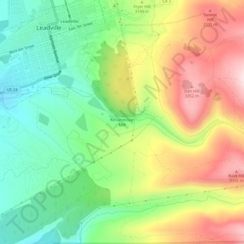
Name: Resurrection Mill topographic map, elevation, terrain.
Average elevation: 10,463 ft
Minimum elevation: 9,967 ft
Maximum elevation: 11,125 ft