
Foley topographic map
Interactive map
Click on the map to display elevation.
About this map
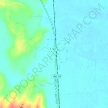
Name: Foley topographic map, elevation, terrain.
Location: Foley, Lincoln County, Missouri, United States (39.04135 -90.74462 39.04888 -90.73768)
Average elevation: 466 ft
Minimum elevation: 430 ft
Maximum elevation: 614 ft