
Mississippi River topographic map
Interactive map
Click on the map to display elevation.
About this map
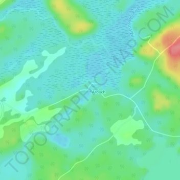
Name: Mississippi River topographic map, elevation, terrain.
Average elevation: 837 ft
Minimum elevation: 774 ft
Maximum elevation: 1,030 ft
Other topographic maps
Click on a map to view its topography, its elevation and its terrain.
Payes Lake
Canada > Ontario > North Frontenac
Payes Lake, North Frontenac, Frontenac County, Eastern Ontario, Ontario, Canada
Average elevation: 912 ft