
Logan Village topographic map
Interactive map
Click on the map to display elevation.
About this map
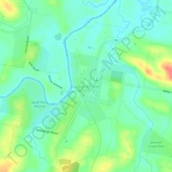
Name: Logan Village topographic map, elevation, terrain.
Location: Logan Village, Logan City, Queensland, Australia (-27.78755 153.08701 -27.74755 153.12701)
Average elevation: 72 ft
Minimum elevation: 13 ft
Maximum elevation: 200 ft