
Lavasa topographic map
Interactive map
Click on the map to display elevation.
About this map
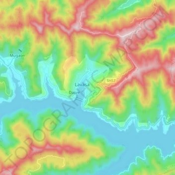
Name: Lavasa topographic map, elevation, terrain.
Location: Lavasa, Mulshi, Maharashtra, 412112, India (18.36460 73.46417 18.44460 73.54417)
Average elevation: 2,677 ft
Minimum elevation: 2,054 ft
Maximum elevation: 3,668 ft