
Wallan topographic map
Interactive map
Click on the map to display elevation.
About this map
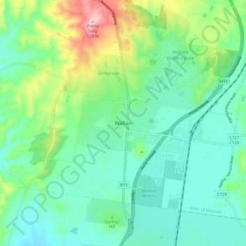
Name: Wallan topographic map, elevation, terrain.
Location: Wallan, Shire of Mitchell, Victoria, 3756, Australia (-37.45389 144.93745 -37.37389 145.01745)
Average elevation: 1,112 ft
Minimum elevation: 892 ft
Maximum elevation: 1,749 ft
Other topographic maps
Click on a map to view its topography, its elevation and its terrain.