
Rudraprayag topographic map
Interactive map
Click on the map to display elevation.
About this map
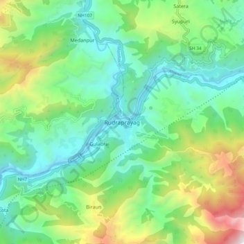
Name: Rudraprayag topographic map, elevation, terrain.
Location: Rudraprayag, Uttarakhand, 246171, India (30.24656 78.94072 30.32656 79.02072)
Average elevation: 3,740 ft
Minimum elevation: 1,949 ft
Maximum elevation: 8,186 ft