
Somzée topographic map
Interactive map
Click on the map to display elevation.
About this map
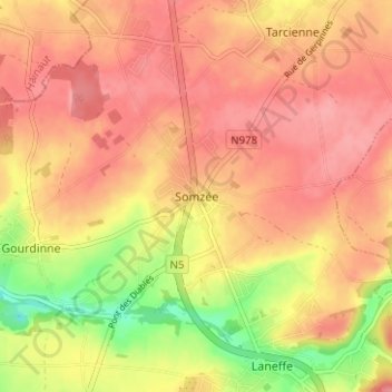
Name: Somzée topographic map, elevation, terrain.
Location: Somzée, Walcourt, Philippeville, Namur, Wallonia, 5651, Belgium (50.27516 4.46298 50.31516 4.50298)
Average elevation: 712 ft
Minimum elevation: 528 ft
Maximum elevation: 804 ft
Other topographic maps
Click on a map to view its topography, its elevation and its terrain.
Gourdinne
Belgium > Namur > Philippeville > Walcourt
Gourdinne, Walcourt, Philippeville, Namur, Wallonia, 5651, Belgium
Average elevation: 682 ft