
Townsend topographic map
Interactive map
Click on the map to display elevation.
About this map
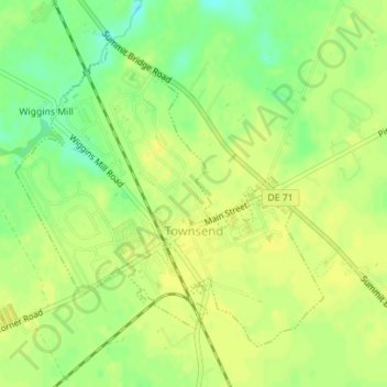
Name: Townsend topographic map, elevation, terrain.
Location: Townsend, New Castle County, Delaware, United States (39.38702 -75.70771 39.40835 -75.67989)
Average elevation: 59 ft
Minimum elevation: 13 ft
Maximum elevation: 82 ft