
Loarre topographic map
Interactive map
Click on the map to display elevation.
About this map
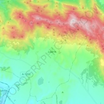
Name: Loarre topographic map, elevation, terrain.
Location: Loarre, Hoya de Huesca, Huesca, Aragón, España (42.26562 -0.71418 42.36169 -0.57801)
Average elevation: 2,923 ft
Minimum elevation: 1,801 ft
Maximum elevation: 5,197 ft