
Attili topographic map
Interactive map
Click on the map to display elevation.
About this map
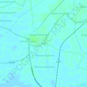
Name: Attili topographic map, elevation, terrain.
Location: Attili, West Godavari, Andhra Pradesh, 534134, India (16.66723 81.58900 16.70723 81.62900)
Average elevation: 30 ft
Minimum elevation: 23 ft
Maximum elevation: 43 ft