
Hillister topographic map
Interactive map
Click on the map to display elevation.
About this map
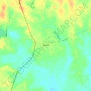
Name: Hillister topographic map, elevation, terrain.
Location: Hillister, Tyler County, Texas, 77624, United States (30.64770 -94.40131 30.68770 -94.36131)
Average elevation: 177 ft
Minimum elevation: 121 ft
Maximum elevation: 246 ft