
Mulberry topographic map
Interactive map
Click on the map to display elevation.
About this map
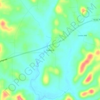
Name: Mulberry topographic map, elevation, terrain.
Location: Mulberry, Lincoln County, Tennessee, United States (35.19064 -86.48027 35.23064 -86.44027)
Average elevation: 758 ft
Minimum elevation: 676 ft
Maximum elevation: 974 ft