
Fort Bridger topographic map
Interactive map
Click on the map to display elevation.
About this map
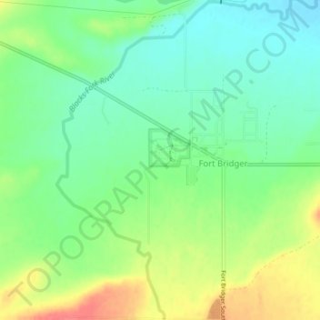
Name: Fort Bridger topographic map, elevation, terrain.
Location: Fort Bridger, Uinta County, Wyoming, United States (41.30140 -110.40554 41.33236 -110.37224)
Average elevation: 6,690 ft
Minimum elevation: 6,614 ft
Maximum elevation: 6,808 ft