
Udall topographic map
Interactive map
Click on the map to display elevation.
About this map
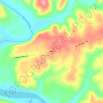
Name: Udall topographic map, elevation, terrain.
Location: Udall, Ozark County, Missouri, 65766, United States (36.52395 -92.27877 36.56395 -92.23877)
Average elevation: 712 ft
Minimum elevation: 538 ft
Maximum elevation: 928 ft