
Phường Xuân Trung topographic map
Interactive map
Click on the map to display elevation.
About this map
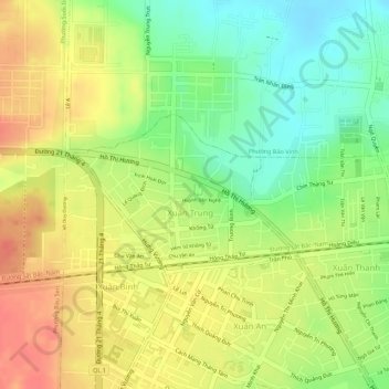
Name: Phường Xuân Trung topographic map, elevation, terrain.
Average elevation: 548 ft
Minimum elevation: 436 ft
Maximum elevation: 636 ft
Other topographic maps
Click on a map to view its topography, its elevation and its terrain.
Long Khánh City
Vietnam > Dong Nai province > Long Khánh City
Long Khánh City, Dong Nai Province, Vietnam
Average elevation: 528 ft