
Charlotte Amalie topographic map
Interactive map
Click on the map to display elevation.
About this map
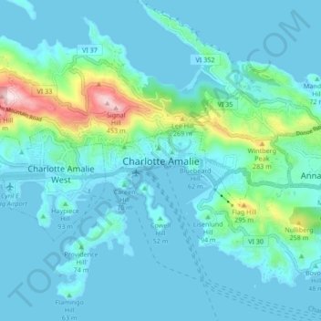
Name: Charlotte Amalie topographic map, elevation, terrain.
Average elevation: 203 ft
Minimum elevation: -3 ft
Maximum elevation: 1,516 ft
Other topographic maps
Click on a map to view its topography, its elevation and its terrain.
Saint Thomas
United States > United States Virgin Islands > Saint Thomas - Saint John District > Charlotte Amalie
Saint Thomas, Charlotte Amalie, Saint Thomas - Saint John District, United States Virgin Islands, United States
Average elevation: 49 ft