
Frink topographic map
Interactive map
Click on the map to display elevation.
About this map
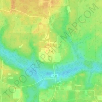
Name: Frink topographic map, elevation, terrain.
Location: Frink, Calhoun County, Florida, United States (30.34853 -85.23409 30.38853 -85.19409)
Average elevation: 79 ft
Minimum elevation: 23 ft
Maximum elevation: 131 ft