
Westlock topographic map
Interactive map
Click on the map to display elevation.
About this map
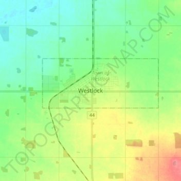
Name: Westlock topographic map, elevation, terrain.
Location: Westlock, Town of Westlock, Alberta, T7P 2G6, Canada (54.11252 -113.89199 54.19252 -113.81199)
Average elevation: 2,133 ft
Minimum elevation: 2,051 ft
Maximum elevation: 2,300 ft