
Henleyfield topographic map
Interactive map
Click on the map to display elevation.
About this map
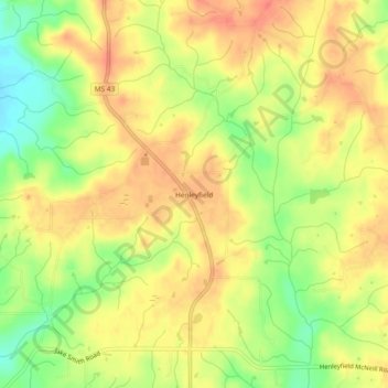
Name: Henleyfield topographic map, elevation, terrain.
Location: Henleyfield, Pearl River County, Mississippi, United States (30.67713 -89.78396 30.71713 -89.74396)
Average elevation: 184 ft
Minimum elevation: 82 ft
Maximum elevation: 246 ft