
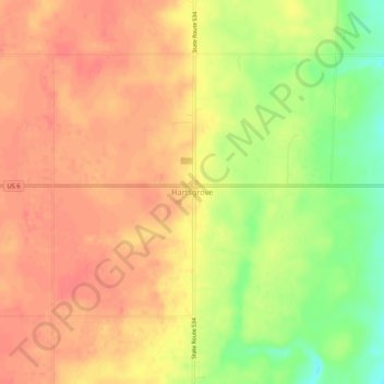
Hartsgrove topographic map
Interactive map
Click on the map to display elevation.
About this map
Name: Hartsgrove topographic map, elevation, terrain.
Location: Hartsgrove, Ashtabula County, Ohio, United States (41.58506 -80.97343 41.62506 -80.93343)
Average elevation: 1,017 ft
Minimum elevation: 899 ft
Maximum elevation: 1,076 ft