
Oglethorpe topographic map
Interactive map
Click on the map to display elevation.
About this map
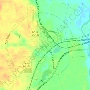
Name: Oglethorpe topographic map, elevation, terrain.
Location: Oglethorpe, Macon County, Georgia, 31068, United States (32.28161 -84.07868 32.30703 -84.04414)
Average elevation: 312 ft
Minimum elevation: 253 ft
Maximum elevation: 364 ft