
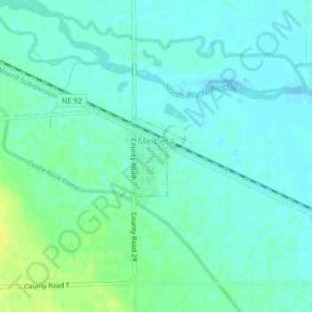
Melbeta topographic map
Interactive map
Click on the map to display elevation.
About this map
Name: Melbeta topographic map, elevation, terrain.
Location: Melbeta, Scotts Bluff County, Nebraska, United States (41.77866 -103.51917 41.78559 -103.51239)
Average elevation: 3,825 ft
Minimum elevation: 3,806 ft
Maximum elevation: 3,871 ft