
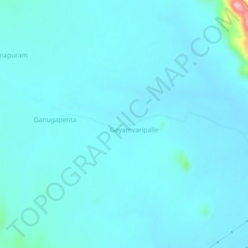
Baduguleru topographic map
Interactive map
Click on the map to display elevation.
About this map
Name: Baduguleru topographic map, elevation, terrain.
Location: Baduguleru, Kanigiri, Prakasam, Andhra Pradesh, India (15.46510 79.46774 15.50510 79.50774)
Average elevation: 440 ft
Minimum elevation: 374 ft
Maximum elevation: 1,142 ft