
Carrollton topographic map
Interactive map
Click on the map to display elevation.
About this map
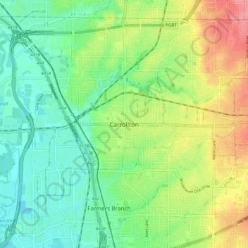
Name: Carrollton topographic map, elevation, terrain.
Location: Carrollton, Dallas County, Texas, 75006, United States (32.91373 -96.93028 32.99373 -96.85028)
Average elevation: 512 ft
Minimum elevation: 410 ft
Maximum elevation: 682 ft