
Las Cruces topographic map
Interactive map
Click on the map to display elevation.
About this map
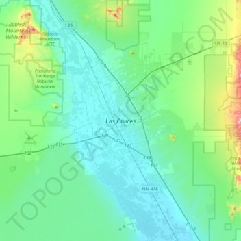
Name: Las Cruces topographic map, elevation, terrain.
Average elevation: 4,314 ft
Minimum elevation: 3,832 ft
Maximum elevation: 6,736 ft
The approximate elevation of Las Cruces is 3,908 feet (1,191 m) above sea level.