
Gilbert topographic map
Interactive map
Click on the map to display elevation.
About this map
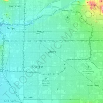
Name: Gilbert topographic map, elevation, terrain.
Location: Gilbert, Maricopa County, Arizona, 85269, United States (33.19276 -111.94904 33.51276 -111.62904)
Average elevation: 1,312 ft
Minimum elevation: 1,112 ft
Maximum elevation: 3,186 ft