
Town Line Swamp topographic map
Interactive map
Click on the map to display elevation.
About this map
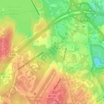
Name: Town Line Swamp topographic map, elevation, terrain.
Average elevation: 361 ft
Minimum elevation: 210 ft
Maximum elevation: 476 ft
Other topographic maps
Click on a map to view its topography, its elevation and its terrain.
Saylesville
United States > Rhode Island > Providence County > Lincoln
Saylesville, Lincoln, Providence County, Rhode Island, 02863, United States
Average elevation: 121 ft